Research
Wildfire management depends on numbers that are expensive to measure: the biomass in a slash pile, the shrub cover across a landscape, the distance an ember travels. These are usually estimated by hand, with wide error bars. My work looks at how much of that gap 3D measurement can close, and how to tell whether it has.
The projects below share a concern with field validation. A point cloud is easy to produce and hard to trust, so most of the effort goes into checking reconstructed geometry against quantities that were measured some other way.
Research
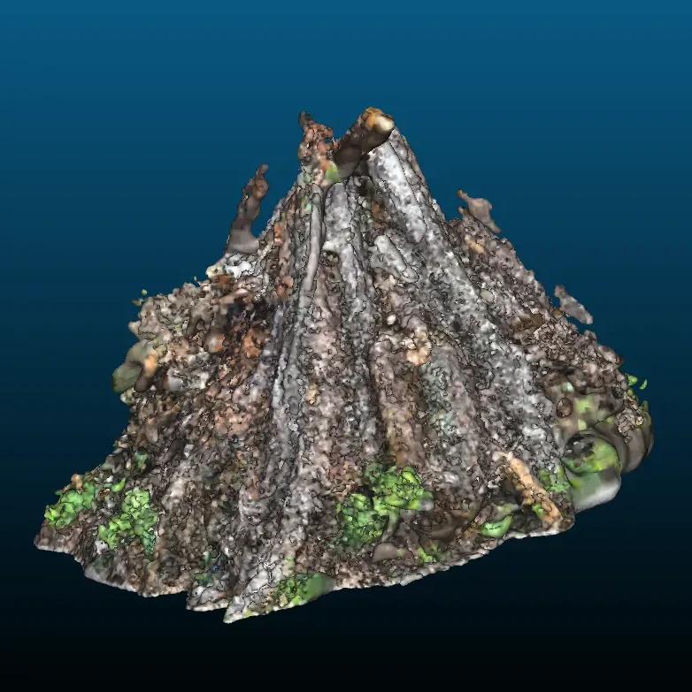
Burn-Pile Volume & Emissions from Mobile LiDAR
UC Berkeley · Battles Lab, Environmental Science, Policy & Management
A field-validated method for estimating slash-pile volume and emissions by reconstructing mobile laser scans in 3D, cutting error roughly eightfold against the standard field method.
Wildfire Spread Modeling & the Shrubwise Data Challenge
UC San Diego / SDSC · Societal Computing and Innovation Lab
LiDAR-derived ground truth and independent verification for a community machine-learning challenge on shrub classification, alongside work on reproducible fire-behavior model implementations.
Closed-Loop Volumetric Additive Manufacturing
Lawrence Livermore National Laboratory · DSSI
A closed-loop workflow in which 3D reconstruction of each printed part drives parameter corrections for the next, plus automated defect inspection of CT-scanned lattices.
Applied & industry
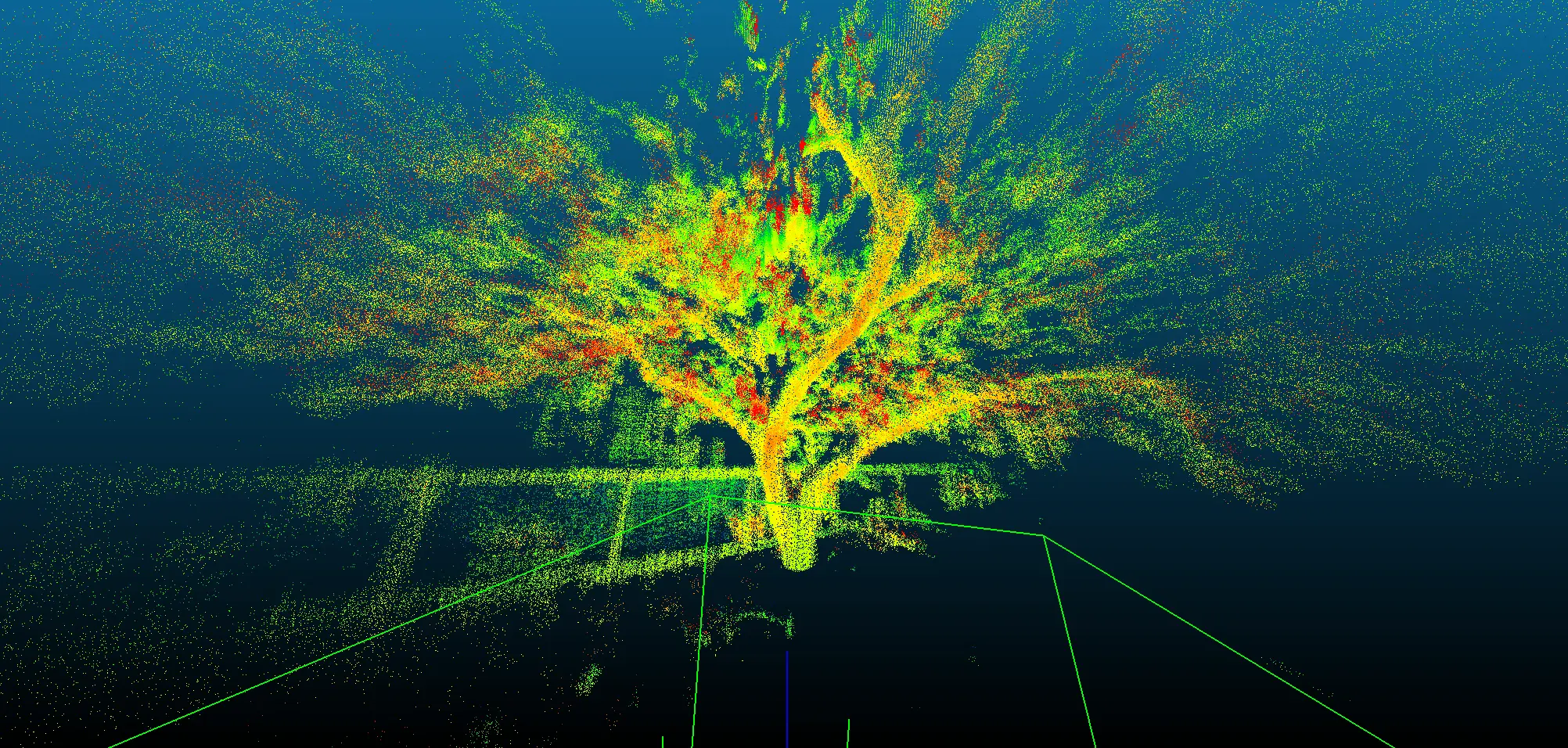
LiDAR Fuel-Load Analytics
Silvaye, LLC · NASA JPL incubator
An end-to-end analytics system automating LiDAR ingestion through fuel-load estimation, built to operationalize a NASA-funded wildfire monitoring concept.
Ember Transport Modeling
Spatial Informatics Group · with Underwriters Laboratories
An ember (firebrand) distribution model adapted from the Sardoy et al. transport framework for a wildfire modeling exercise with UL.